Hiking has become one of the fast-growing hobbies and activities for both young people and seniors in Puerto Vallarta. In part, thanks to the global pandemic, which led to people staying home, limiting their social activities for basically two years; and in part thanks to cultural changes in Mexico and the world, that has brought us close to living a healthier life, the community in Bahia de Banderas have become fans of hiking.
We can all agree that we have many spots in Puerto Vallarta or Riviera Nayarit that even people that do not like this activity are aware of because of the popularity on social media or magazines of these Instagramable spots.
Do you like hiking or would like to try this activity? Here I share with you the Top 5 most beautiful trails in the Bay of Banderas, and if you love nature, you’re going to love them!
Boca de Tomatlán – Las Animas Beach
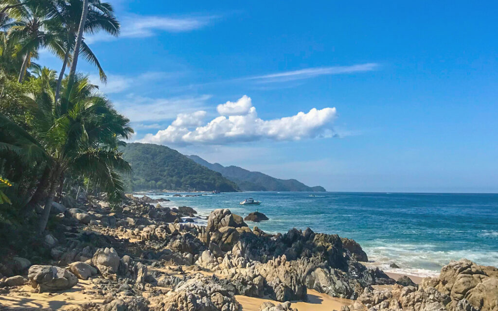
The most popular trail among locals and tourists. You start the trail in Boca de Tomatlán town and follow the coast, passing through beautiful sceneries of the jungle, wooden bridges, magical ocean views, and charming small beaches like Madagascar, Colomitos, Caballo, up until Playa Las Animas, where you can enjoy a drink or rest at one of the many restaurants in the beach.
We recommend doing this trail early morning. You can hike your way back to Boca de Tomatlán or pay for a “panga” or boat to bring you back if you want to rest. Kids and adults can do this trail, but as always, bring your 2L. of water, comfy clothes, and shoes so you can enjoy the almost 8km (back and forth) of this beautiful trail.
- Location: Boca de Tomatlán (20 minutes from Puerto Vallarta)
- Difficulty: Moderate
- Distance: Around 7.5km total
Nogalito River
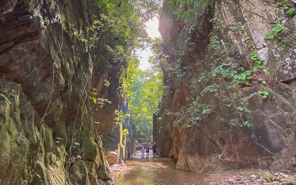
The exuberant mountains of Puerto Vallarta have many treasures that many tourists and even locals do not know about. Exploring the Nogalito River is no doubt one of the most relaxing and magical activities you can do. The refreshing water that flows from deep into the mountains, the green trees that protect you from the sun, the gorgeous waterfalls, and the variety of insects, lizards, butterflies, and birds you can see along the river, also make this trail one of the most visited by biologists and lovers of nature. Again, we recommend this hike in the morning and in the company of a guide.
- Location: Nogalito, Puerto Vallarta (20 minutes from Puerto Vallarta)
- Difficulty: Moderate
- Distance: Around 5km total
Mirador del Cerro de la Cruz
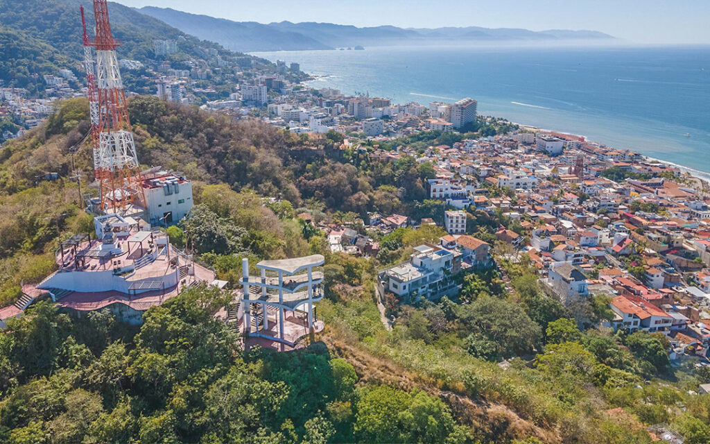
Our list of hiking trails would not be complete without this urban spot for sunset lovers in the city. You can start at this spot is 15-20 minutes from the Malecon and you can get to it taking different routes, like the Josefa Ortiz de Dominguez street, a straight uphill route whose slope increases as it approaches the viewpoint, where you can enjoy some of the best 360° views of the city. Another route, for many the best, is through Abasolo street, which is a little more direct and starts from the Malecon, going up the hill.
We recommend to do this trail early morning or at least 40 minutes before the sunset.
- Location: Cerro de la Cruz, Puerto Vallarta
- Difficulty: Easy
- Distance: Around 1.5km total
Cerro de Conchas Chinas
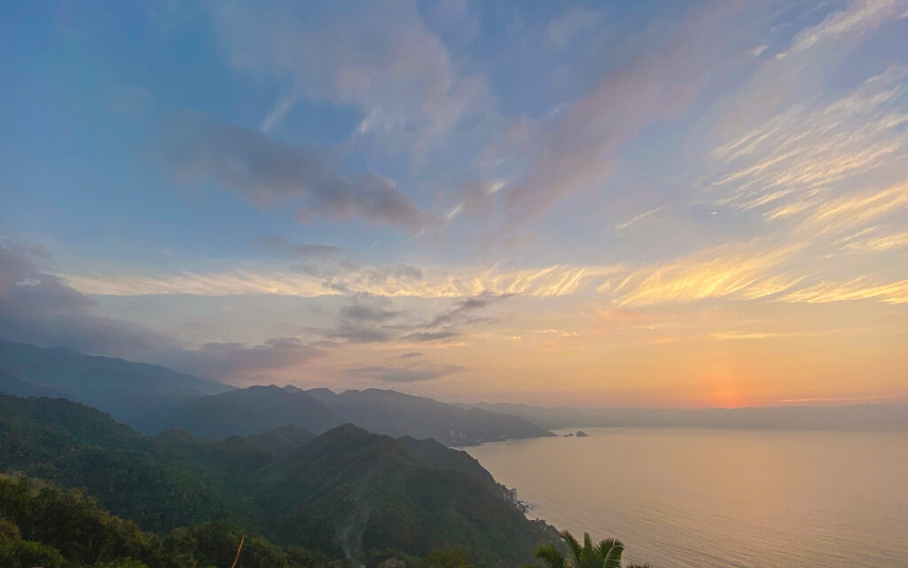
Did you know you can get a spectacular view of the south shore from a short distance in one of the hills of Amapas?
The trail that takes you to this relatively unknown trail in Puerto Vallarta starts in Calle Paseo de los Delfines, Conchas Chinas, which if you follow all the way up to the Grand Miramar Resort. Right in front of the street you will see a couple of hundred concrete steps you will have to follow, to then, continue along the dirt trail which will take you to the top of the mountain, and to the stunning views of the South Shore of Puerto Vallarta and Cabo Corrientes. To get the best views I recommend to visit early morning or right before sunset. If you go to watch the sunset be careful thought, because the journey home will be at night. So be sure to bring a lightern and a guide.
- Location: 200 Federal Highway, corner of Calle Paseo de los Delfines, Conchas Chinas, Puerto Vallarta
- Difficulty: Moderate
- Distance: Around 6km total
Cerro del Mono
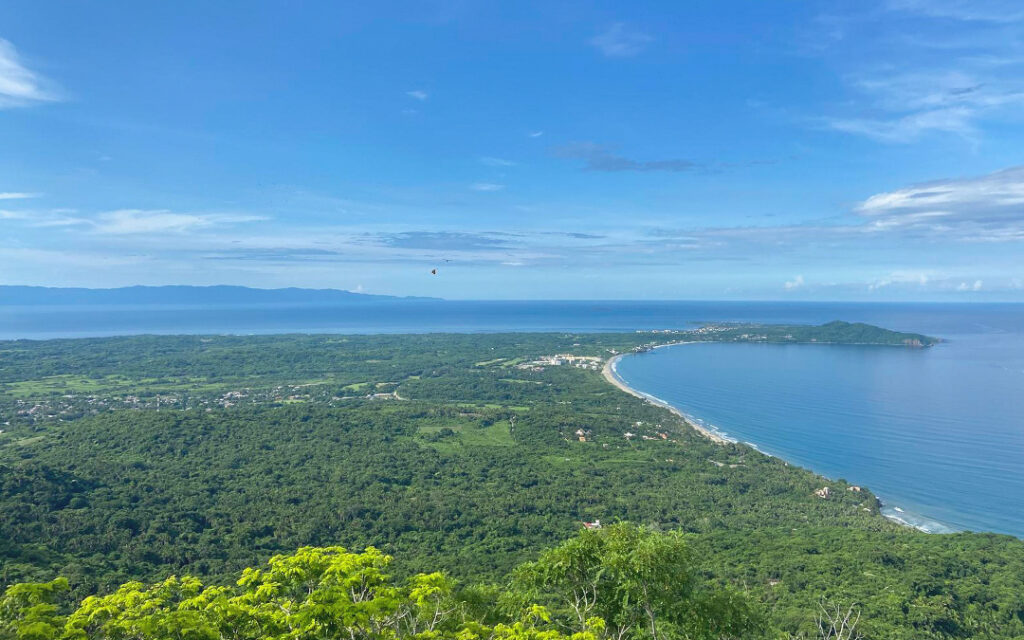
Cerro del Mono is located north of Banderas Bay, in the vicinity of the Higuera Blanca community. It is a peak that, in recent months, has gained popularity as a hiking route among residents and visitors to the region. It is a mountain approximately 350 meters high, from where you can appreciate the beauty of the Pacific in all its splendor.
This beautiful trail starts at Plaza Higuera Blanca. Although the trail is very well marked with white spots painted on the trees to mark it, be careful, as you can get confused if you do not know the area. Do not worry though, some areas with a white x to tell you it’s the wrong trail. The finish is somewhat steep. From the top you can enjoy the spectacular views of the bay so it is very worth it to visit, at least once!
- Location: Higuera Blanca, Bahia de Banderas
- Difficulty: Moderate
- Distance: 7km total
Of course these are only some of the hiking trails you can visit in the Bay of Banderas, but there are many more!
Have you visited any of this trails? Share this article with your friends and comment on which one is your favorite!

Recent Comments